|
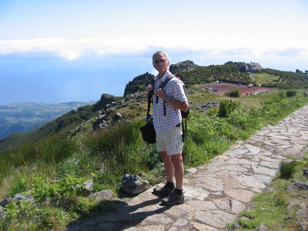 |
| The track to the Pico Ruivo | |
| Latitude: N 32°45'50,15" | Longitude: W 16°55'23,96" | Altitude: 1627 metres | Location: Pico Ruivo de Santana | State/Province: Ilha da Madeira | Country: Portugal | Copyright: Marjolijn Michels | See map | |
| Total images: 62 | Help | |